We might have been awake by 7:00, but our usual morning pokiness prevailed. When we staggered out to the shore, it was like a scene from a bad comedy: "Dude, Where's the Ocean?" The channel west of Klaoitsis dries extensively at low tide - a nice big clam garden, which explains the impressive midden - and we couldn't see much in the way of water in any direction. Ah, well, breakfast first, dragging kayaks to tidewater later.
 |
| Dude, where's the ocean? |
I gathered a bushel of the lovely currants that grew along the beachside while Jon boiled up some porridge. The cloud - or fog, depending on your perspective - hung low over the mountainsides, a ceiling of about 50 feet. We got launched by 9:45, and it was beautiful paddling against very mild current as we headed northeast up Clio Channel.
 |
| Another sunny morning in Clio Channel |
 |
| Negro Rock |
Minstrel Island provided a nice pocket beach for a lunch stop - the beach and associated land is for sale, if you're interested. We took a bit of a hike around, stretching our sore first-day muscles, then launched up the channel named The Blow Hole. Not sure what I was expecting, but there was nothing as special about it as the name suggested - just your average little channel, a pretty spot, though. As we passed the marina on the east side of Minstrel Island, the fog began to burn off and the sun came out. Uh-oh. We put on a burst of speed, hoping to beat the wind to Knight Inlet for the crossing.
We didn't beat it. By the time we hit Littleton Point at the intersection of Chatham Channel and Knight Inlet there were significant whitecaps and Knight just looked too gnarly to cross. We retreated to a small cove just south of Littleton Point to wait out the weather, hoping the wind might die down and allow us across in the afternoon.
The landing in the cove was boulders at mid-low tide, mixed cobble and boulders at high tide, somewhat log-choked, but not a bad refuge from the wild weather just around the corner. We took a little hike to scope out a tent site if conditions didn't improve.
They didn't.
The forest was comprised of 100-year-old logging litter. In the language of the BC Marine Trails Network, the area had a few marginal sites in the upland. There's a wee trickle of fresh water south of the "main" site that might save someone's bacon sometime. No evidence of use by either bears or humans. Mice, yes.
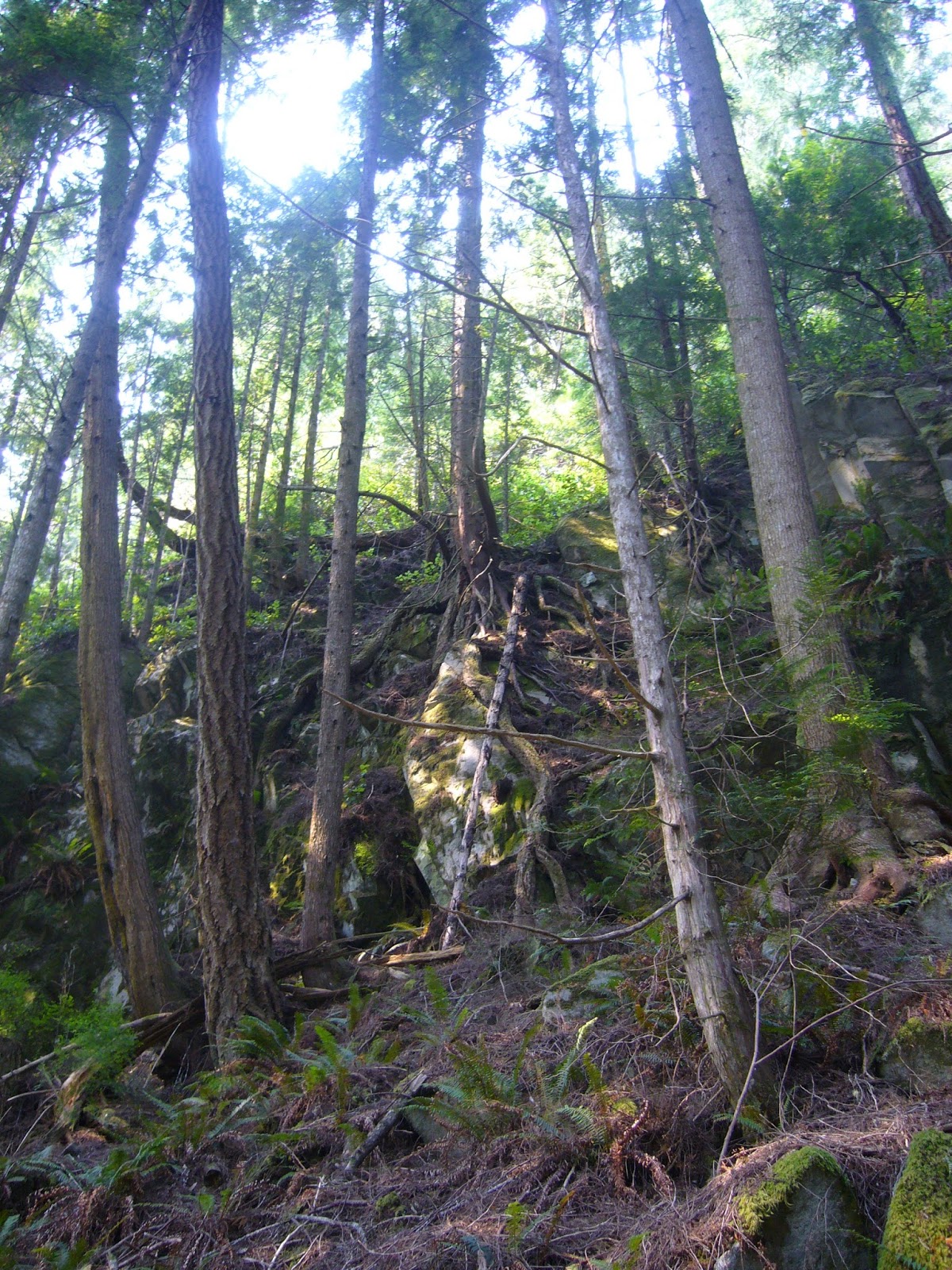
We hiked around in the upland for a couple of hours and grooved on the bizarre roots growing down cliff walls.
If anyone finds themselves in the same situation and the description of "just south of Littleton Point" doesn't cut it, the site is at
Lat: N 50°37'45"
Lon: W 126°17'47.5"
 |
| Contemplating eternity at high tide |
We played around with the map and compass while we waited out the weather. Neither of us could remember how to take a proper bearing and we argued like cavemen trying to parse Schopenhauer until we figured it out, a skill that would come in handy soon.
Regular checks with the binoculars revealed no significant improvement in conditions "out there," so we pitched camp and went to bed as soon as the sun was down, a half day's travel behind but in good spirits.


No comments:
Post a Comment